
Our Services
Every successful project begins with a clear, well-crafted idea. Whether you are launching a conservation initiative, formalizing a volunteer effort into an organization, or presenting a landscape restoration plan, the way you communicate your story shapes the impact you can achieve.
At Peregrine Ridge Consulting, we translate your vision into concise, compelling, data-driven narratives that connect with community members, funders, and decision-makers. By integrating scientific expertise with analytics, mapping, and strategic communications, we ensure your work rises above the noise and demonstrates its full value.
Our services are tailored to uplift your voice while grounding it in rigorous science and accessible design:
I. Environmental & Ecological Consulting
This category focuses on critical environmental assessment, regulatory compliance, and biodiversity studies.
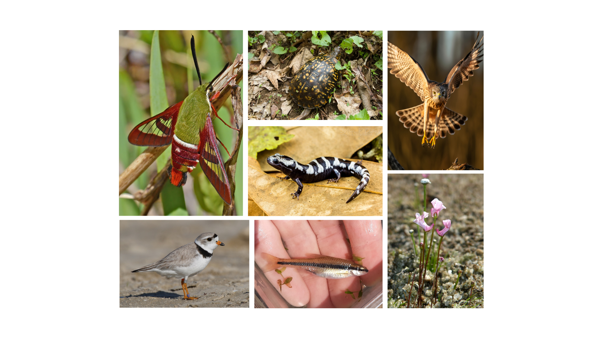
Ecological Assessment & Biodiversity
Detailed Ecological Analysis, Habitat and Species Distribution Assessment, and Biodiversity Data Analysis, including the design and management of iNaturalist projects for community engagement and citizen science data collection.
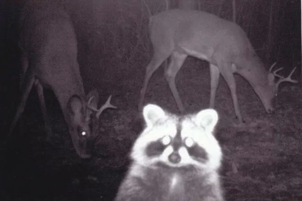
Environmental Monitoring
Implementation and management of Monitoring Cameras for wildlife and environmental data collection.
Species Conservation & Education
Development of Local Guides to Rare Species and species of conservation importance. Includes creating engaging Outreach and Environmental Education Materials, such as educational games and cards.
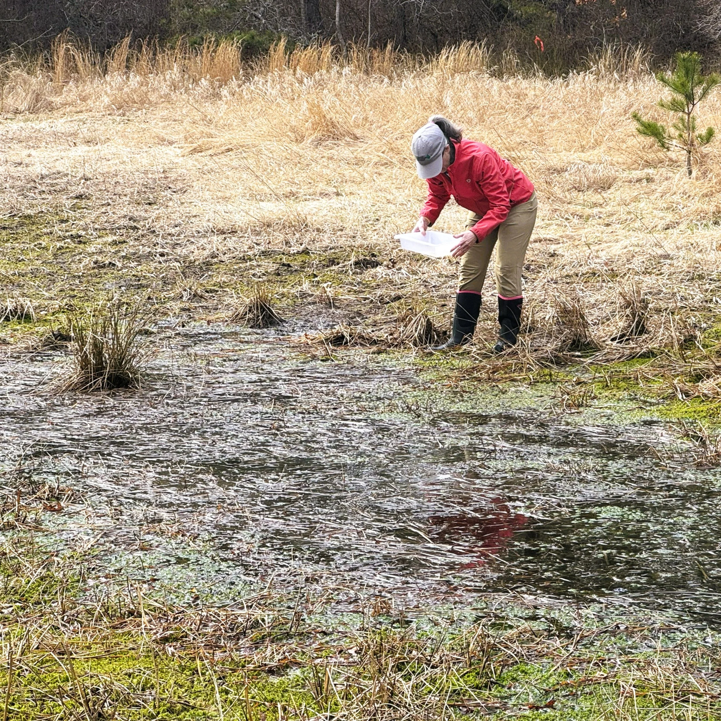
Vernal Pool Certification
Vernal Pool Certification services for projects and conservation efforts.
II. Geospatial and Cartographic Services (Mapping & GIS)
Leverage cutting-edge mapping and spatial analysis to provide clear visual data and actionable insights.
Advanced Mapping Solutions
Creation of a variety of high-quality Maps, including Dynamic and Static Maps. Expertise in platforms like Google Maps and advanced GIS techniques.
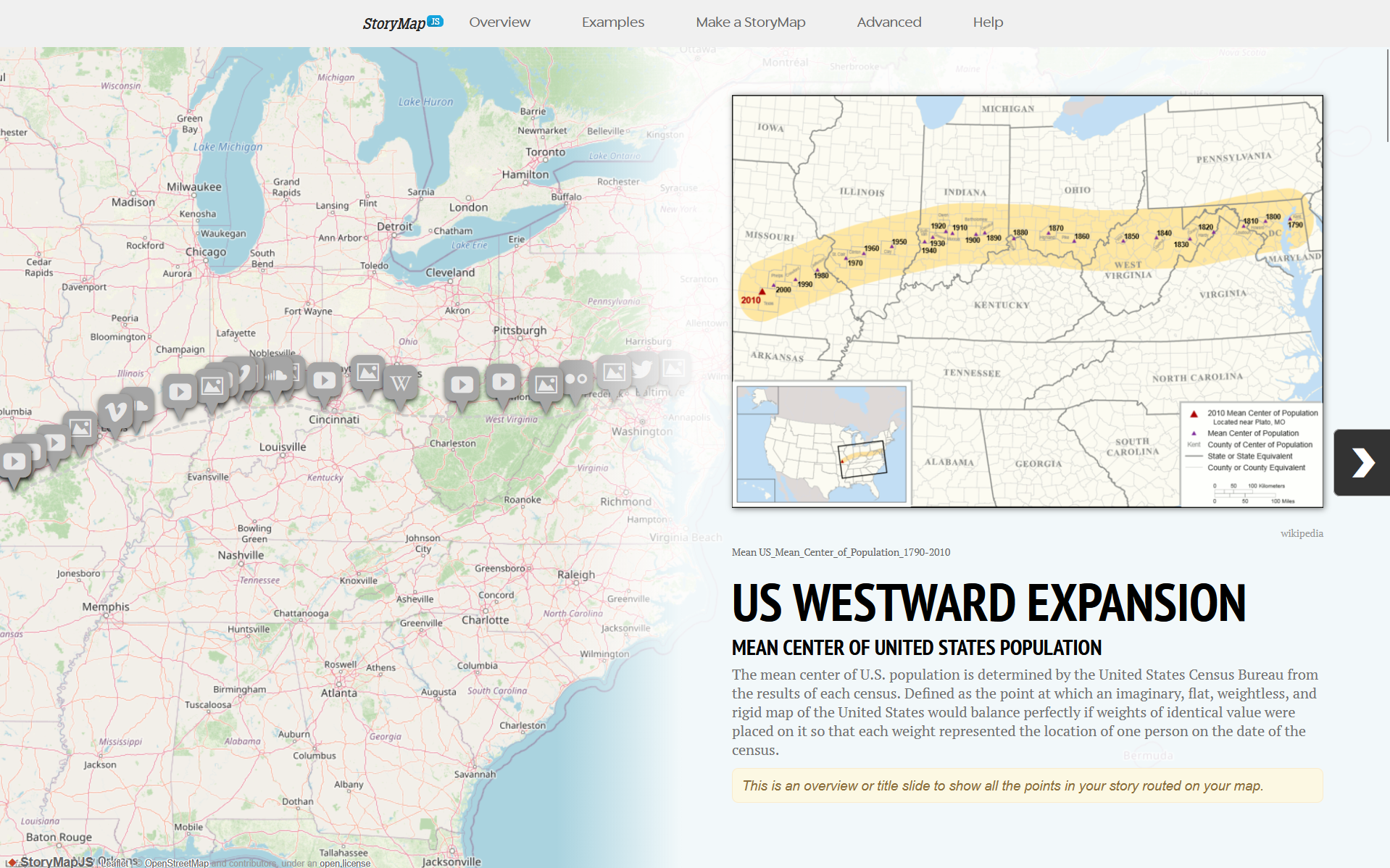
Data Storytelling & Visualization
Development of engaging and digital presentations to communicate complex data and narratives effectively.
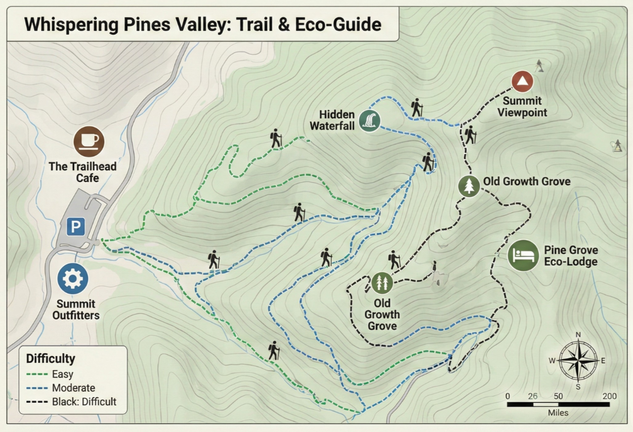
Specialized Cartography
Design and production of detailed Trail Maps (online and printed) and custom maps to Promote Local Businesses and eco-tourism.

GPS/Motion-based measuring Mapping
Fully-dimensioned (2D & 3D) site plans: area, distance, elevation, and volume. Creation of reference points, routes, and tracks.
III. Data Analysis & Communication
Transform raw data into understandable, professional reports and visually appealing materials.
Statistical Analysis
Statistical analysis of data to support evidence-based decision-making. Services include data processing: cleaning, organizing, and validating datasets, as well as reviewing historical, environmental, and biological data. Many institutions maintain extensive datasets that have never been analyzed. I help unlock the value of this data by transforming it into reliable, actionable insights.
Visual Data Communication
Creation of clear, professional Infographics and Charts to effectively summarize findings and complex data sets. Application of accessible design principles, including optimized Color Palettes for Colorblind People, ensuring all visual materials are usable by the widest audience.

Digital Documentation
Production of comprehensive, user-friendly Digital Tutorials and reports tailored to client needs.
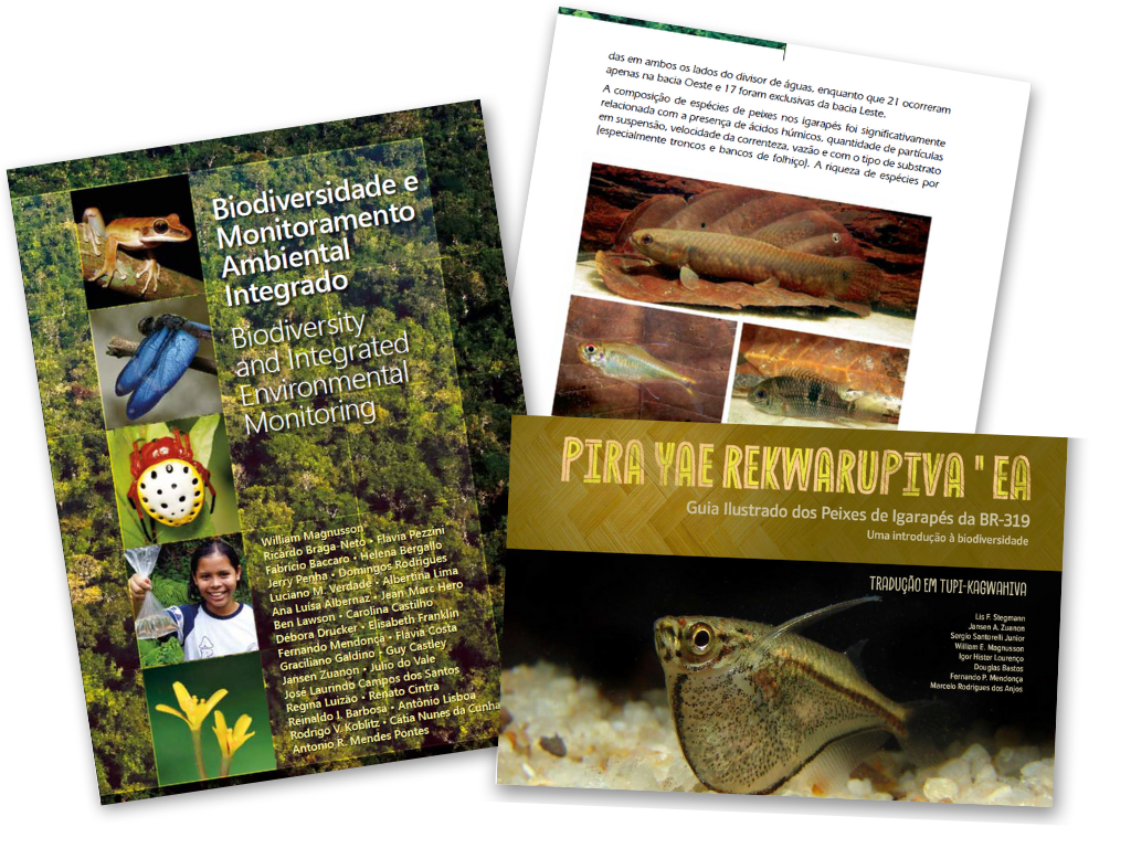
Multilingual Translation
Professional Translation Services for all reports, guides, and educational materials. Specialization in English and Portuguese to serve diverse local organizations and communities.
Book a free consultation
Every project is unique. Please contact us for a custom proposal based on your organization's specific needs and scope. We are committed to fostering environmental stewardship and offer special pricing tiers for our non-profit partners.