

Turning Complex Environmental Data into Actionable Solutions.
Expert Environmental & Ecological Consulting, Advanced GIS Mapping, Data Analysis, and Specialized Communication Accessible to All.
Why Partner with Peregrine Ridge?
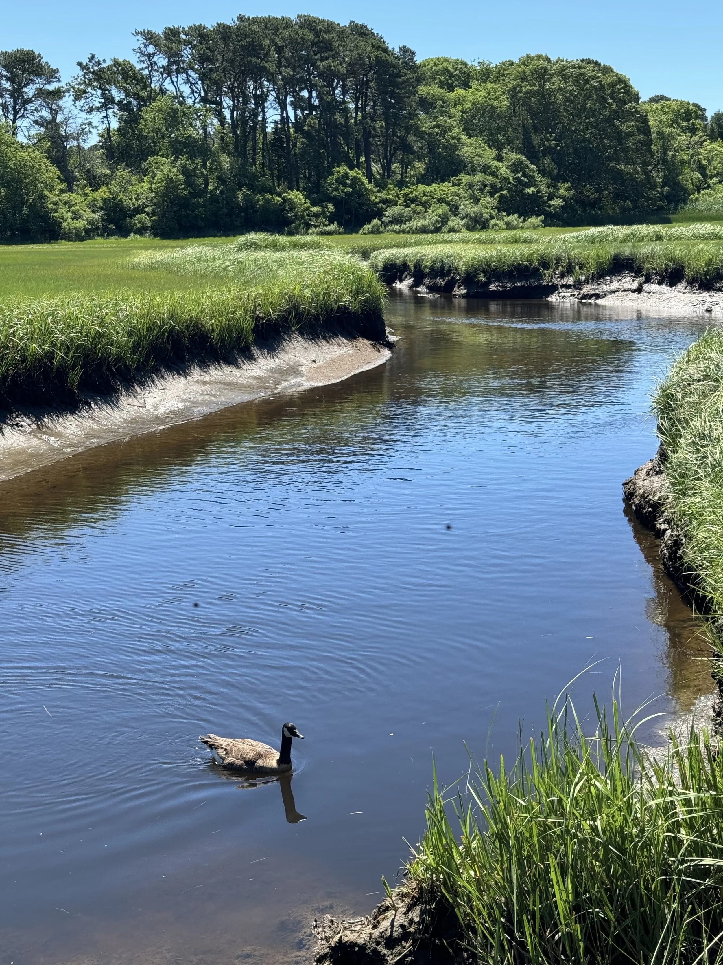
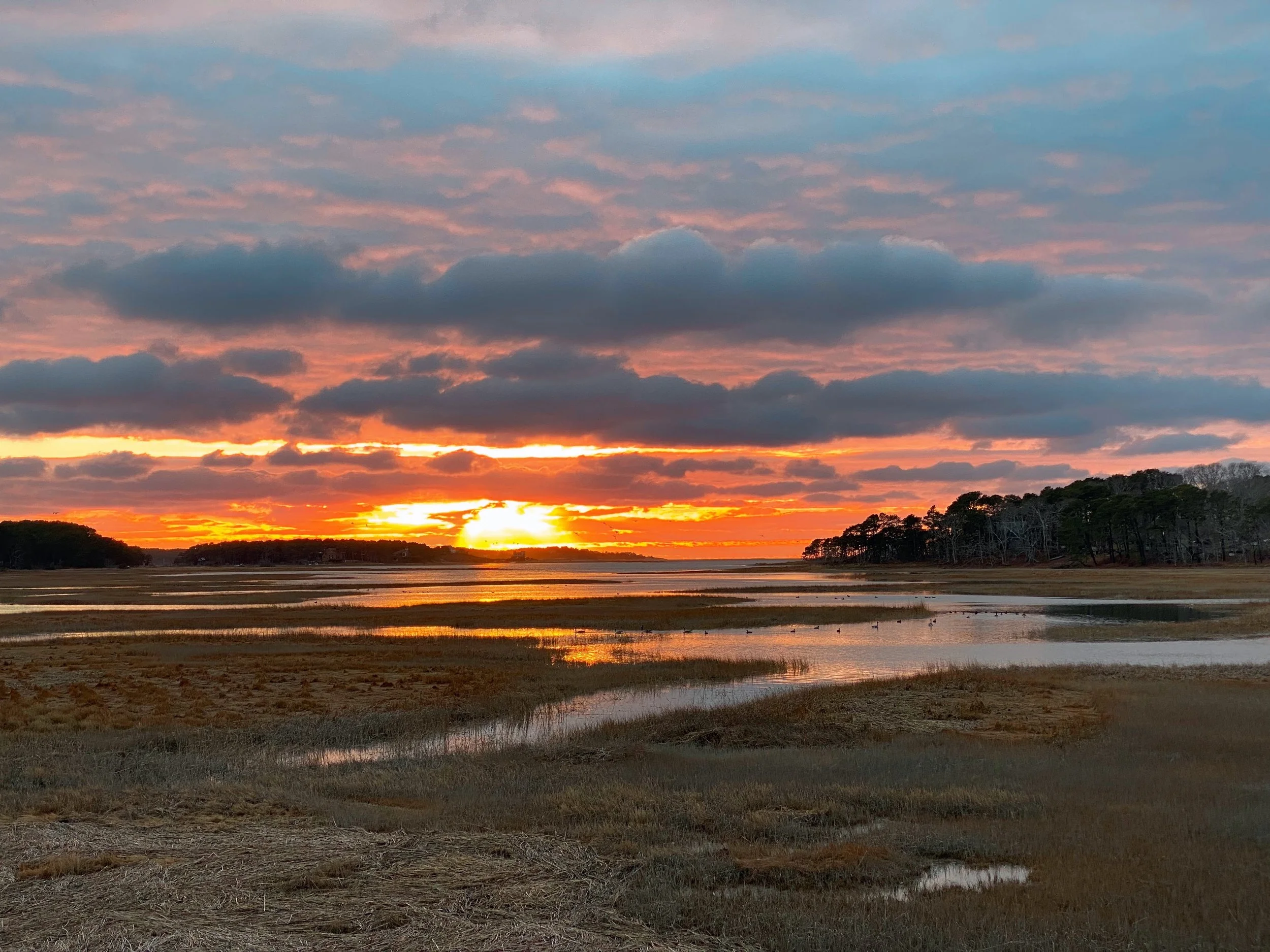
At Peregrine Ridge Consulting, we bridge the gap between scientific expertise and community-centered environmental stewardship. Every project is guided by a deep respect for the ecological systems that define New England. We combine field expertise, spatial analysis, and policy knowledge to deliver actionable insights for a diverse range of stakeholders.
Our Services
Peregrine Ridge Consulting offers specialized expertise in environmental assessment, GIS mapping, and data analysis, tailored to meet your specific needs. Our core services are designed to transform complex datasets into clear, actionable strategies.
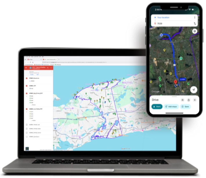
What sets us apart is our commitment to accessible design and multilingual support, ensuring that our technical insights are understandable and usable for diverse stakeholders. We integrate advanced technology with ecological science to provide precise, location-specific data that informs critical environmental decisions.
-
Ecological Analysis, Biodiversity and Habitat Assessment, Environmental Education Materials, and Vernal Pool Certification.
-
Advanced Mapping Solutions, Specialized Cartography, Data Accessibility & Design, GPS/Motion-Based Measuring Mapping.
-
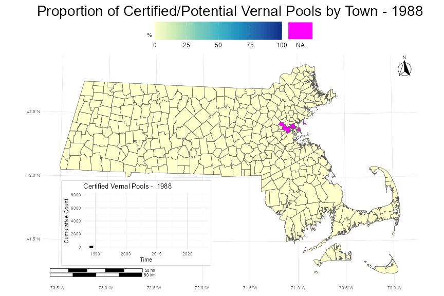
Statistical Analysis of Environmental, Ecological, and Survey Data to Support Informed Decision-Making.
-
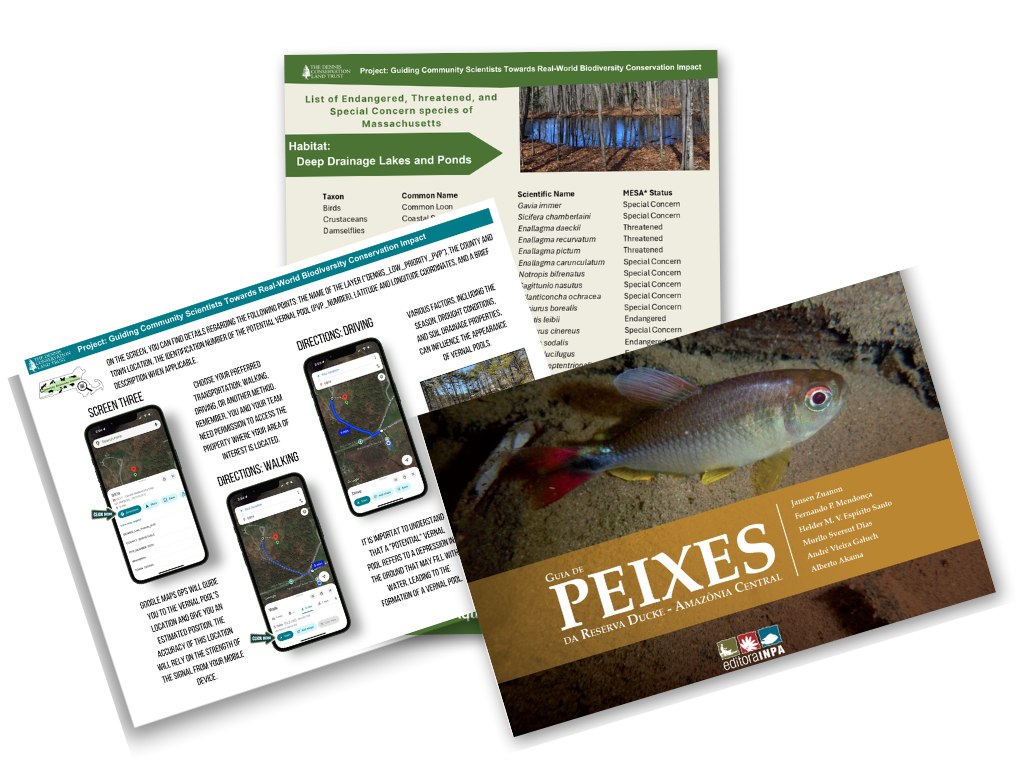
Creation of Clear, Professional Infographics and Charts, Tutorials, and Multilingual Translation.
Book a free consultation
Let’s Map Out Your Next Project. Whether you need a Vernal Pool certification, a customized map, or rigorous statistical analysis, Peregrine Ridge Consulting is ready to assist.
Every project is unique. Please contact us for a custom proposal based on your organization's specific needs and scope. We are committed to fostering environmental stewardship and offer special pricing tiers for our non-profit partners.